Aerial Photography and LiDAR Surveys
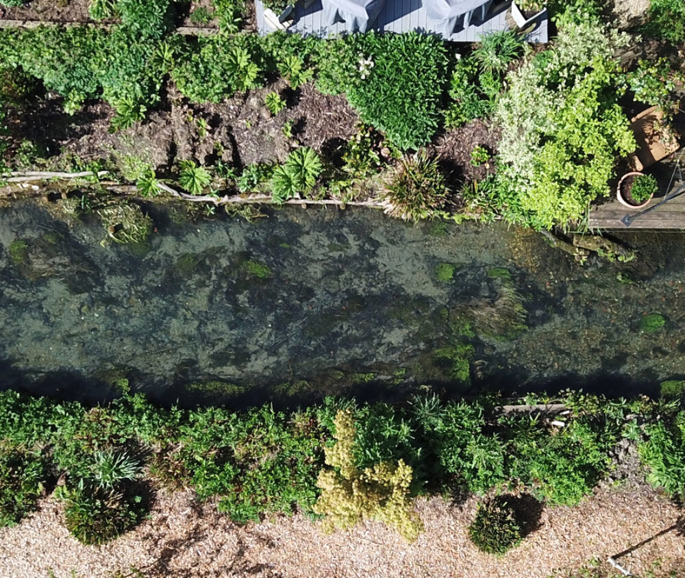
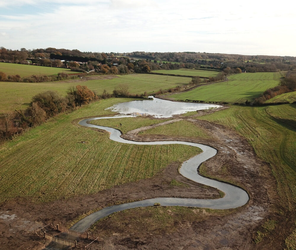
Our aerial photography services flies drones over proposed/existing work sites and gathers photogrammetry and LiDAR data. This data is used to create orthomosaic images for pre– and post–works comparisons, as well as 3D models of sites which provide data that can be used in the design process i.e for cut and fill estimations to inform costings and placement of features.

The Problems
Accuracy
It can be challenging to get an accurate picture of a site, particularly in complex hard to access locations, or where traditional methods of survey will prove to difficult to collect accurate data. The use of unmanned aerial vehicles (UAVs) or drones has revolutionised how we view, plan and design our projects and made it significantly easier for clients to understand each aspect of their project site both during and on completion.

The Solutions
Images, Videos, 3D Modelling
Our in-house team are able to collect survey data at different resolutions:
- still images and videos – used to show before/during/after for river, wetland and lake schemes. These can be great for stakeholder engagement, funding bids, marketing and visual changes to a site.
- geo-referenced orthomosiacs – we use specialist software to analyse hundreds, or even thousands, of overlapping photos to provide a high-quality image of the site that can be imported into CAD or GIS software. This provides fantastic baseline mapping, as well as progress and built data for delivered environmental schemes.
- 3D modelling – by utilising ground control points, photogrammetry and the latest onboard LiDAR technology, we can produce highly detailed 3D models of a site to inform design work.
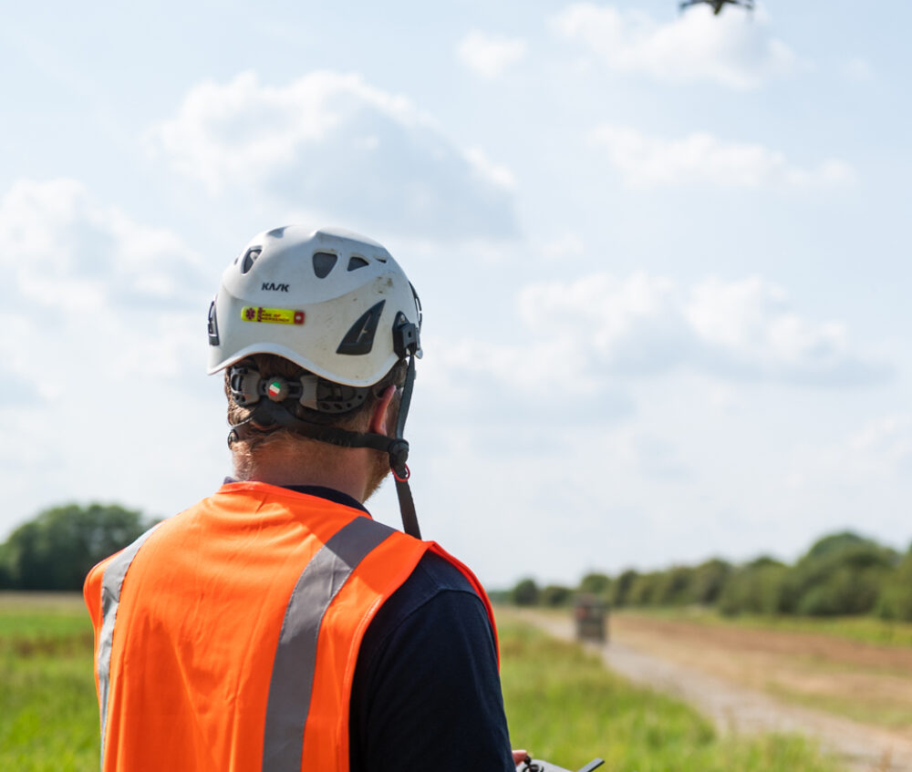
In order to offer this service, our drone operators are CAA (Civil Aviation Authority)-approved. We have the correct licenses and insurance to carry out aerial photography and LiDAR services, so you can rest assured that your project is in safe hands with us.

Contact us
Talk to an expert in Drone and LiDAR Surveys
Luke Roberts
Construction Manager
Get in touch by either phone or email to speak with Luke and discuss your needs. Alternatively click the button below to complete our contact form.
Telephone: 01722 783 041
Email: sales@five-rivers.com

Thank you for booking.
To stay in touch, please sign up to our newsletter.
Return to five-rivers.com
